Request for Proposals: Upstate Forever seeks consultant for GIS mapping and modeling services. Apply by 5:00 p.m. ET on November 6, 2026. Learn more


Tools of the Trade
Conservation is hands-on work. But behind much of that hands-on work is a growing suite of technology that helps our team see more, understand more, and protect more.
From managing the complex details of conservation easement projects to capturing aerial imagery and analyzing watershed data, these tools help Upstate Forever staff make informed decisions and maximize our impact.
Here’s a look at some of the technology our team uses every day to protect the Upstate’s special places.
Landscape: One platform, every property
Each conservation easement begins with a landowner's decision to permanently protect their land and water for future generations. That generous commitment sets in motion a complex process — every project involves countless conversations, documents, deadlines, maps, site visits, and long-term commitments that continue after a property is protected. Keeping all of that organized requires more than spreadsheets, binders, and filing cabinets.
Designed specifically for land trusts by former land trust employees, Landscape is a web- and mobile-based platform that helps UF manage every stage of a conservation project, from a landowner's first inquiry through years of stewardship after a property is protected.
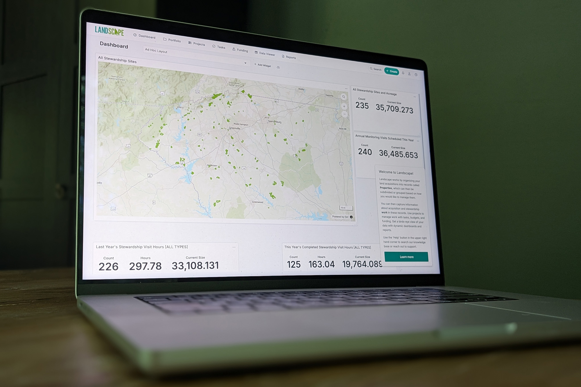
At any given time, each member of UF’s Land Conservation team may be juggling a dozen or more potential conservation easements. Landscape helps ensure those projects continue moving forward by organizing tasks, deadlines, and workflows in one place.
"Landscape plays a critical role in keeping track of multiple projects," says Scott Park, UF’s Glenn Hilliard Director of Land Conservation. "It helps us know which projects are in what stage of protection and what our next steps are."
Before adopting Landscape in 2021, conservation easement project information lived in a patchwork system of Excel spreadsheets, Microsoft Access databases, and separate reporting systems.
"It felt like we were working in the Stone Age," Scott says, laughing. "Now, we simply couldn't manage the number or complexity of conservation projects we take on without it. It's helped us increase both our capacity and the quality of our conservation work."
For UF’s Stewardship team, the Landscape platform serves as more than a project tracker — it creates a living record of every protected property.
"Everything we do is in Landscape," says Lauren Ulich, Director of Stewardship & Land Management, of her team’s work.
Information that was once scattered across emails, paper files, spreadsheets, and servers now exists together in a single system. Landowner contact information, property access instructions, annual monitoring reports, site photographs, maps, land management activities, rights requests, property transfers, and ongoing communications all become part of a property's documented history right within Landscape.
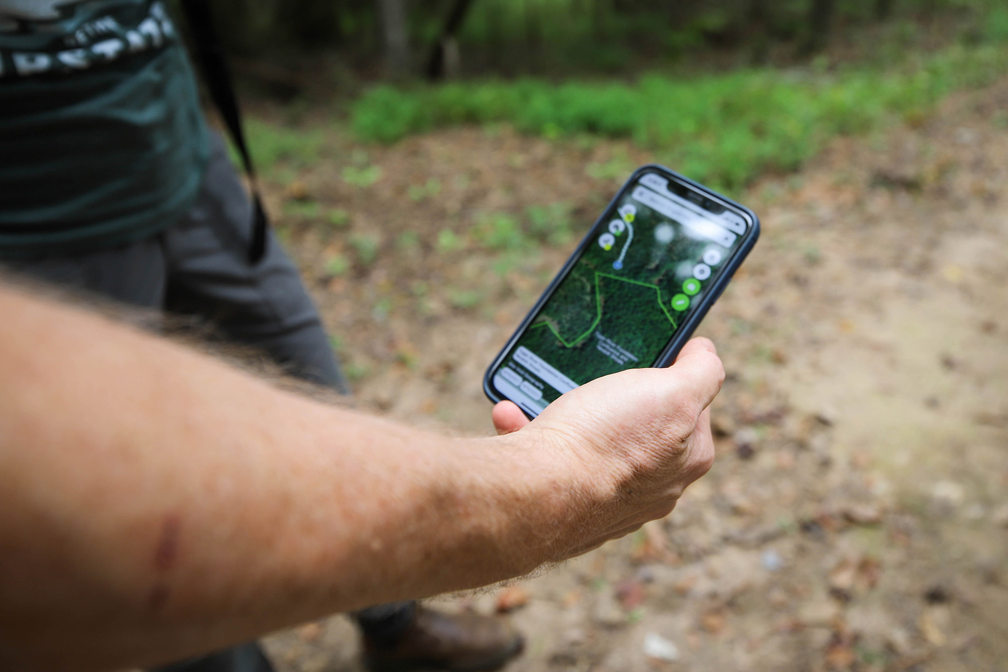
This software also streamlines one of our Stewardship team’s most important responsibilities: annual monitoring. Staff schedule site visits, assign properties to specific team members, track progress through dashboards, upload geo-referenced photos directly from the field, and generate reports, all within the same platform.
Landscape also simplifies the many reporting requirements that come with land protection. UF regularly reports to the Board of Directors, various committees, insurance providers, and the national Land
Trust Alliance.
"Instead of having to dig through files on a server to find all this information for a report, we're able to create a spreadsheet at the click of a button that can be quickly reviewed and directly submitted," says Lauren.
The result is more than time saved on reporting. By keeping the details of each project organized and accessible, Landscape gives our team more capacity to focus on what matters most: protecting land, supporting landowners, and caring for the places already in our conservation portfolio.
But managing individual properties is only part of the picture. To make strategic conservation decisions, our team also needs to understand how those properties fit into the larger Upstate landscape — and that's where GIS comes in.
GIS: Mapping a better future
When you think of conservation, you probably picture forests, rivers, farms, and open fields — not staff sitting behind a computer looking at digital maps layered with thousands of data points. But behind every conservation decision is a powerful technology that helps our Land Conservation and Clean Water teams make strategic decisions: Geographic Information Systems, or GIS.
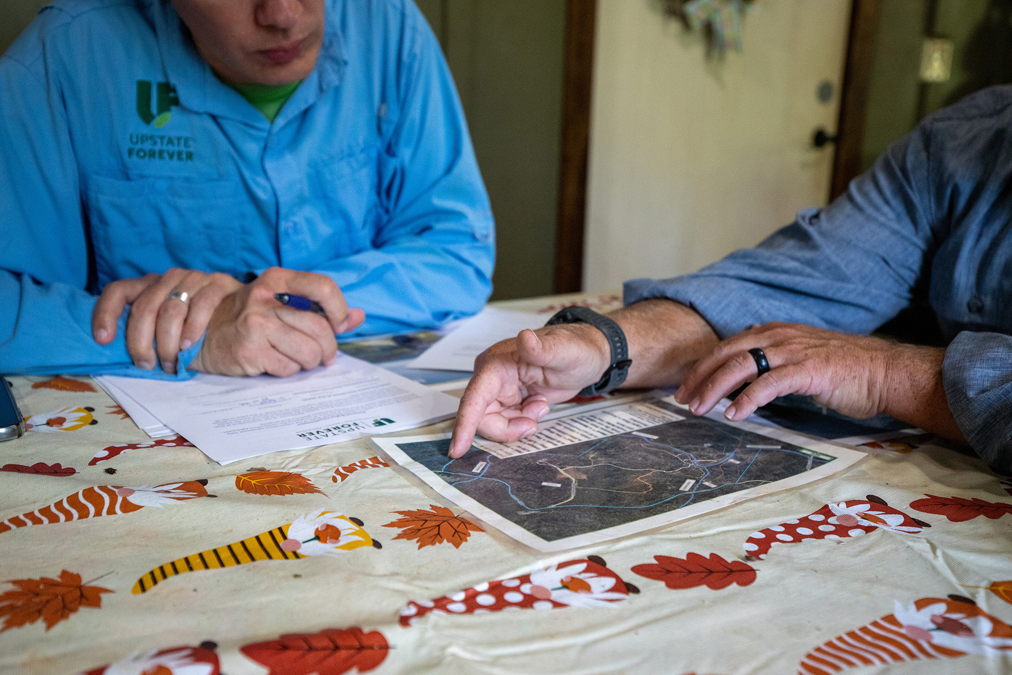
Simply put, GIS allows users to combine many different points of information into one interactive map, helping them visualize, analyze, and prioritize the places and projects that matter most.
"GIS allows us to combine all sorts of data in one image — to be able to compare and contrast different information geographically," explains Scott.
Just as layers in a navigation app can show you the nearest gas station or coffee shop, GIS tools reveal the features that most impact conservation. Instead of restaurants or traffic, our staff are looking at streams, wetlands, floodplains, forests, farmland, wildlife habitat, and dozens of other data layers that illustrate a complete picture of a property's conservation value.
Another particularly valuable resource is UF’s Critical Lands Map, developed in partnership with Furman University with support from Pacolet Milliken. The Critical Lands Map combines numerous data layers into a single planning tool that helps our team identify lands with the greatest potential to protect drinking water sources and other important natural resources.
"That is a compilation of layers and layers of data that speak to our mission," Scott says. "It helps identify which lands are priority to protect and which lands are influencing water quality the most."
The value of GIS doesn't end once a property is protected.
"The Stewardship team's situational awareness of a property is directly correlated to how detailed a map our Land Conservation team is making," adds Lauren.
During annual monitoring site visits, detailed maps help staff quickly identify riparian buffers, sensitive habitats, conservation restrictions, and other features that require ongoing protection and monitoring.
By transforming complex data into clear, actionable maps, GIS gives UF a more complete view of our region’s landscape, helping our team identify where conservation can have the greatest impact and better understand the natural resources we're working to protect.
But even the most detailed map can only tell us so much. Sometimes, the best way to understand a property is to see it
from a completely different perspective: the sky.
Drones: A new perspective
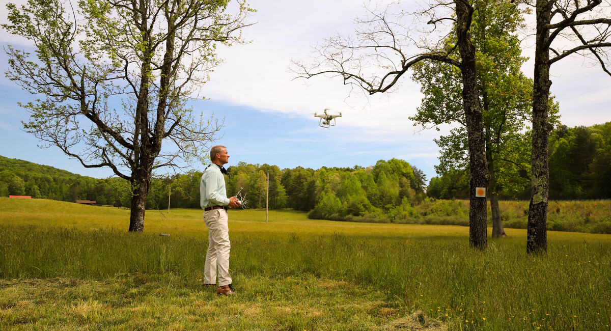
One of the most valuable conservation tools newly added to our toolbelt fits in the palm of your hand. Small but powerful drones have become an important part of the Land Conservation team's work, giving staff a bird's-eye view of properties that would otherwise be difficult or even impossible to see.
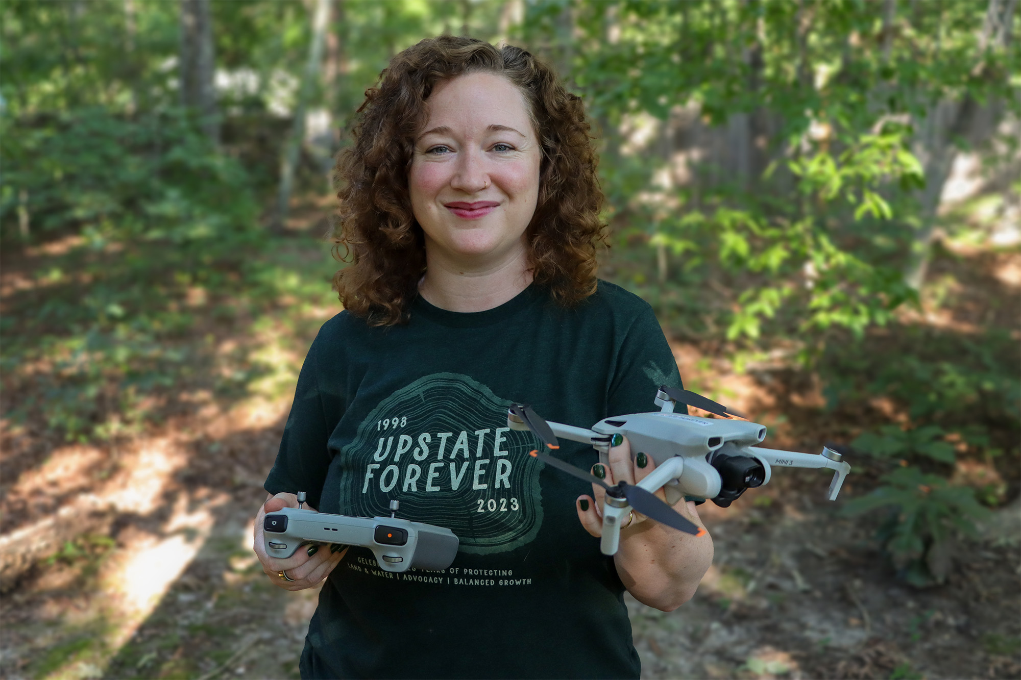
Whether flying over the steep escarpment, dense forests, or expansive farmland, aerial imagery helps staff better understand a property's landscape while documenting the natural features that make it worthy of protection.
"A single drone flight makes every site visit so much more productive," says Scott. "It allows us to observe areas we couldn't easily reach ourselves and gives us a much broader perspective of the property."
Upstate Forever has been using a larger drone for several years, but it requires an FAA license to operate. Recently, a Capacity Building Grant from the Community Foundation of Greenville helped Upstate Forever purchase two smaller, easily transportable drones that do not require an FAA license to operate. These additions to our toolbox make it much easier for more UF staff to capture aerial images.

And these images are a valuable resource throughout the conservation process. Drone photos help document a property's condition when a conservation easement is established, creating a visual record that can be referenced for years to come. They also strengthen grant applications by helping funding partners understand the scale and significance of a project.
"Our grantors and project partners love to see drone photos," Scott said. "They give a sense of a property's scope and scale within the surrounding landscape and help people better envision what we're working to protect."
For the Stewardship team, drones provide another valuable perspective when monitoring conserved properties. They can quickly survey wetlands, steep terrain, and other areas that are difficult to access on foot, helping staff cover more ground in less time — an important factor when our team has thousands of acres to monitor each and every year.
"There are parts of some properties that are simply much easier to see from the air," says Lauren. "The drone lets us understand those areas much more quickly while complementing what we observe with our own eyes during site visits."
Aerial imagery also becomes part of each property's permanent record. Geo-referenced photos are incorporated into monitoring reports and stored alongside maps, site observations, and other documentation, creating a more complete history of each conserved property.
Like every conservation tool, however, drones have their limitations. A camera can't see through a dense forest canopy, and many stewardship observations still require boots on the ground.
"It's a trade-off," Lauren explains. "The drone helps us see more of a property faster and with less effort, but it doesn't replace being on the ground. It complements the work we do."
While drones may never replace the expertise of our staff or the importance of being on site, they give our team another way to see, document, and understand the places we work to protect — helping us make better use of our time and make more informed decisions.
And sometimes, understanding a conservation challenge requires looking beyond a single property altogether. When the goal is protecting clean water, our team needs to understand how land, streams, communities, and other factors are connected across an entire watershed.
Watershed-Based Planning: Turning data into action
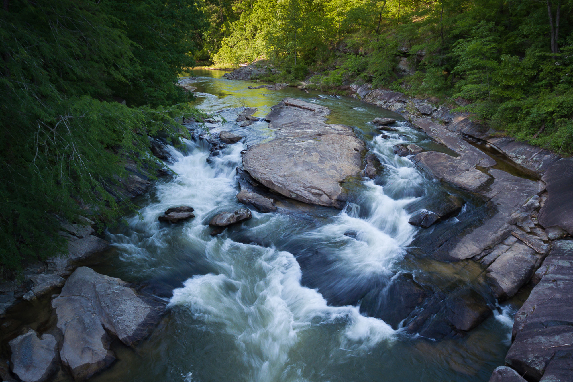
Protecting clean water requires more than knowing where a stream is or identifying a single source of pollution. Watersheds are interconnected systems, and what happens upstream can affect communities, drinking water sources, and waterways downstream.
UF develops watershed-based plans to take a comprehensive look at the factors affecting water quality — and determine where conservation and restoration efforts can make the greatest difference.
“A watershed-based plan is essentially a roadmap for addressing water quality concerns,” explains Erika Hollis, Clean Water Director.
It brings together scientific data, mapping technology, water quality monitoring, and local knowledge to identify problems, prioritize solutions, and guide action. UF’s approach goes a step further.
Traditional watershed planning often responds to water quality problems that have already occurred, such as elevated bacteria, nutrients, or sediment. In addition, UF looks proactively at places where protecting land today could help prevent future impacts to water quality.
"We know from decades of research that protecting land protects water quality," Erika adds. "We're uniquely positioned and have received national recognition for this approach because we are also an accredited land trust. We can focus on properties in a way that other organizations simply wouldn't have the capacity to do."
Our Clean Water staff start by gathering existing water quality data from local, state, and federal sources. They also use data collected through SC Adopt-a-Stream, a citizen-science program that trains volunteers to monitor waterways monthly using a state-approved protocol. Those monthly observations can help identify potential water quality concerns in areas where formal monitoring may be limited.
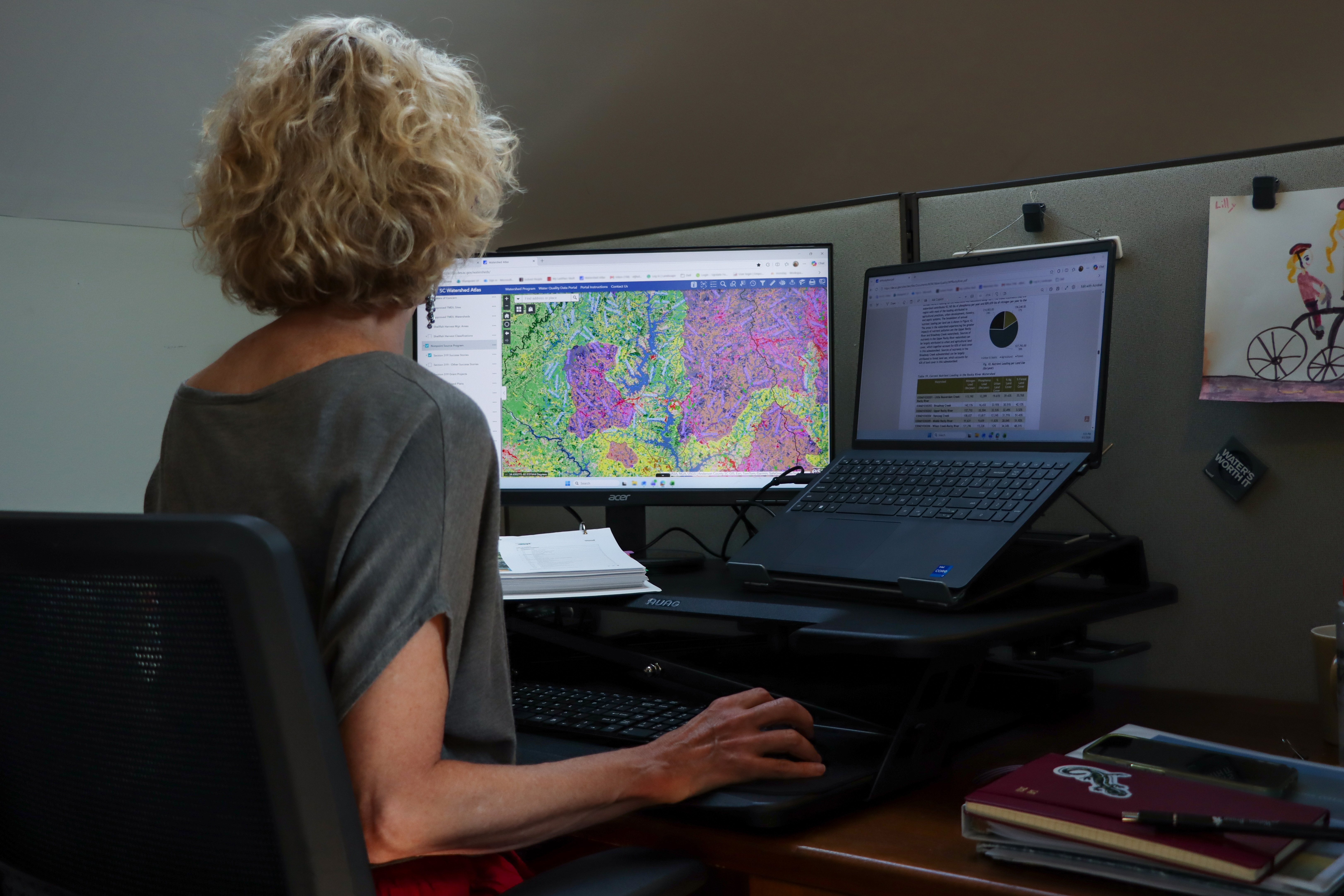
From there, GIS and mapping tools help staff see the bigger picture. The team layers information about streams, wetlands, soils, land use, water-quality monitoring sites, permits, drinking water intakes, dams, and other features across a watershed. Aerial imagery provides another perspective, helping staff identify potential sources of pollution or other changes on the landscape.
The South Carolina Department of Environmental Services Watershed Atlas is another important tool in this process. This interactive mapping resource allows staff to examine information spatially and identify areas that may warrant closer attention.
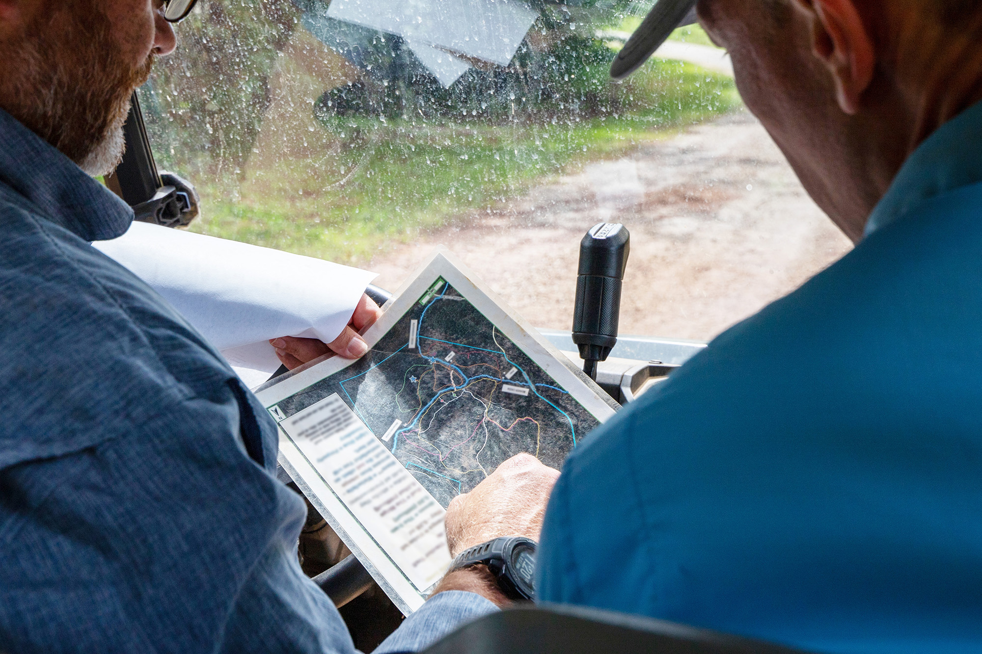
Once again, technology doesn't replace boots-on-the-ground knowledge here. Staff conduct field and windshield surveys to see whether concerns identified through data and mapping are actually present on the landscape.
Partnerships with drinking water utilities are critical, as well as the support of the Clemson Extension, local groups, and landowners who know their communities firsthand.
"People who live and work in these watersheds are much more familiar with the issues than we tend to be," Erika says. "They're there every day, so we rely on them for information to help us figure out where to go."
And the work doesn't end when a plan is complete. UF uses available water quality monitoring data to evaluate whether recommended projects are having the desired effect. Because improvements can take time to show up in monitoring data, however, measuring progress is an ongoing — but rewarding — process. We're in it for the long haul!
From Landscape and GIS to drones, water-quality monitoring, and the knowledge of people who live and work in these communities, technology gives our team more ways to understand the places we work to protect. But the tools themselves are only part of the story. What matters is how we use them — combining data, technology, expertise, and local knowledge to make smarter conservation decisions and turn information into action.
Because at the end of the day, the goal isn't simply to create better maps, collect more data, or use newer technology. It's to protect the land and water that make the Upstate a special place, now and for generations to come.
Greenville, SC
507 Pettigru Street
Greenville, SC 29601
Spartanburg, SC
900 S. Pine St, Ste 1B
Spartanburg, SC 29302