
December 16, 2025
We're hiring: State Policy Manager
Upstate Forever is seeking a State Policy Manager to champion policies that protect the Upstate's natural resources and quality of life. Please apply by August 17. Learn more
Land Planning & Policy
Promoting balanced growth
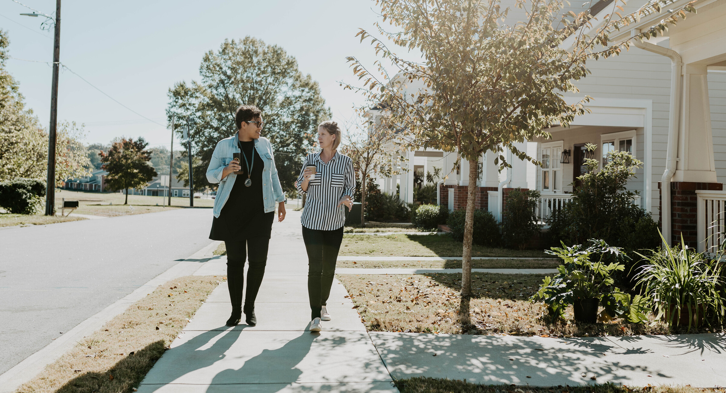
Upstate Forever's Land Planning & Policy team advocates for sensible, community-led solutions that help balance economic development with other priorities like mobility options, housing choices, access to clean water, and safe green spaces.
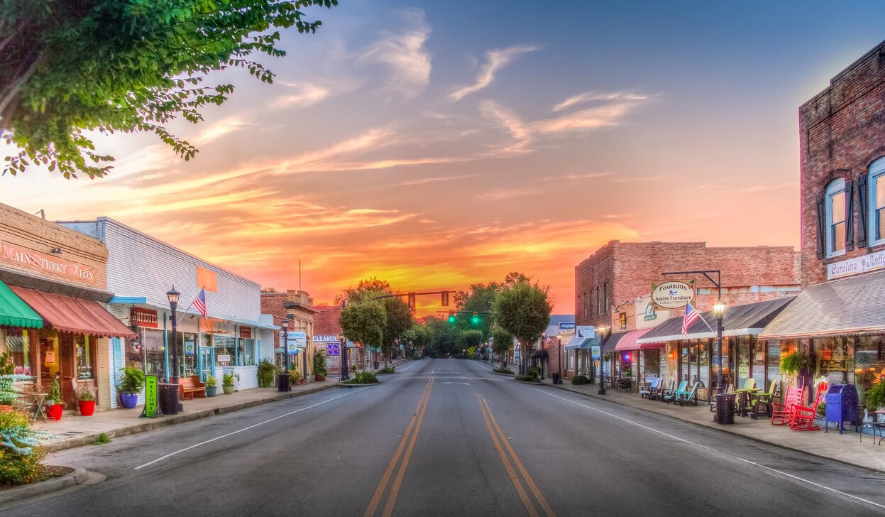
Land use plans and policies impact all aspects of everyday life, especially in our rapidly growing region. Like it or not, growth in the Upstate is inevitable. However, the quality of that growth — where and how it takes place — is up to us. That makes current land use decisions more important than ever.
Join our email lists
The best way to stay up to date on issues we're tracking is to join our Land Planning & Policy email lists.
Local land use decision making varies by municipality, and may unfold very slowly or quickly. We'll keep you informed with critical updates, helpful context, and action alerts so you can take part in how your community grows.
Currently, we have three dedicated lists: Greenville, Spartanburg, and Anderson.
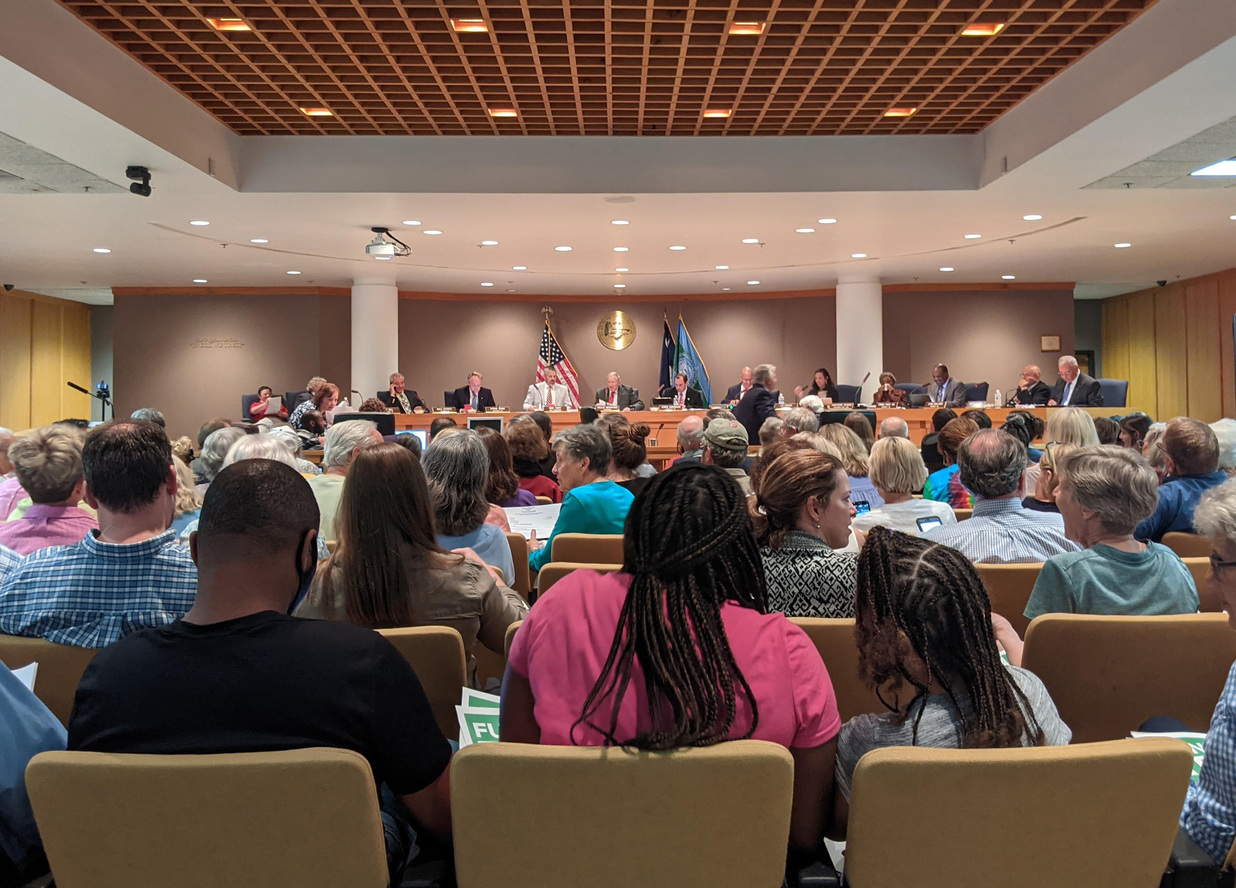
Our advocacy Priorities
Advocacy at the local level
In 2026, we are working to influence and mobilize community support for local plans and policies that protect natural assets, expand mobility and housing choices, and align with the community's vision, while advancing proactive planning and smarter land development initiatives in several of the Upstate’s most rapidly growing cities and counties.
Click on each of the priorities below for more information.
-
Greenville County: Tree & open space preservation, a combined zoning/land development ordinance, & budget
We are advocating for County Council to advance ordinances that strengthen requirements for meaningful open space in residential subdivisions and better protect tree canopy, as well as a new regulatory framework that combines and modernizes the county’s antiquated zoning and land development ordinances to better meet the needs of our growing county.
We are also advocating for a county budget that supports open space, affordable housing, and public transportation at current or increased levels.
Additionally, we are engaging residents at a grassroots level and working with neighborhood leaders, with a focus on communities of color, to explore new strategies that ensure policy outcomes align with community goals.
-
Spartanburg County: Performance Zoning Ordinance amendments
In 2020, a Performance Zoning Ordinance (also commonly known as PZO) replaced the county’s Unified Land Management Ordinance in the county’s southwestern region. In 2026, we are working to cultivate support among residents to help advance amendments to the PZO that strengthen open space and landscape standards, support connectivity, diversify housing options, and direct growth towards mixed-use activity nodes.
-
Anderson County: New comprehensive plan and Land Use and Development Ordinance
We are monitoring, engaging, and encouraging citizens to participate in Anderson County’s initiative to adopt a new Comprehensive Plan and Land Use and Development Ordinance (also known as LUDO). In 2026, we are advocating for the adoption of an actionable comprehensive plan that serves as a foundation to enact policies that reduce sprawl, mitigate flooding, preserve rural and agricultural lands, and enhance open space & tree canopy countywide.
-
City of Greenville: Open space & affordable housing incentives and five-year comprehensive plan update
City Council adopted the Greenville Development Code in June 2023 to ensure a new, more sustainable way of growing in the years ahead. In 2026, we are working to ensure that requirements and incentives to expand open space and affordable housing options, including the city’s density bonus program, are working as intended, or are adjusted to improve outcomes. We are also advocating that the city’s five-year comprehensive plan update adds robust goals and implementation strategies for improving resiliency and achieving a higher density urban form, expanded mobility & housing options, and ample, equitable open space & tree canopy.
-
City of Fountain Inn: Zoning and land development ordinances
Following adoption of the INNvision comprehensive plan in 2024, the city initiated a multi-year process to overhaul zoning and land development regulations to help realize the community’s vision and goals. The city released a draft zoning ordinance in late 2025. We continue to advocate for policies that expand housing choices, enhance open space standards, protect tree canopy, and strengthen subdivision requirements, connectivity, and design guidelines.
-
City of Anderson: New Unified Development Ordinance
We are actively participating in Plan This City, an initiative to create a new Unified Development Ordinance (commonly called a UDO) for the City of Anderson. Our advocacy is focused on adoption of policies that support higher density urban forms to reduce sprawl, expand mobility options, and strengthen open space & tree canopy protections.
-
City of Spartanburg: Zoning and land development ordinances
Plan Spartanburg, the comprehensive plan adopted by City Council in 2023, is expected to guide an overhaul of the city’s land use policies in the coming years, with a focus on addressing existing zoning and land development regulations that perpetuate inequitable outcomes for people of color. In 2026, we are advocating for policies that support diverse housing choices, improved transportation options, and resiliency to move the city toward a more equitable, sustainable future.

Citizens Planning Academy
Have you ever wondered how things get built in Greenville? Would you like to understand the role of the planning commission and city council in Greenville’s planning processes?
This interactive course is designed to help Greenville residents, business owners, and neighborhood leaders understand processes that drive local planning and land use policy decisions as well as the roles and perspectives of diverse stakeholders.
Recent Land Use blog posts
Past Projects
Additional Resources
Join our advocacy email lists
Our staff send timely updates on issues related to growth and natural resources — as well as time-sensitive action alerts when decision-makers need to hear from you! Please click the link below and select the advocacy topics you are interested in.
Greenville, SC
507 Pettigru Street
Greenville, SC 29601
Spartanburg, SC
900 S. Pine St, Ste 1B
Spartanburg, SC 29302